UK Road Signs: Information Signs Test
Free Information Signs Practice Test: UK Traffic Signs Theory Test
Free Practice Test & Recap of All Information Signs
Core Objective
Provide helpful navigation & route guidance
Format Layout
3 to 4 Option Multiple-Choice
Real-Time Review
Instant answers with explanations
💡 What You Must Know:
This topic is included in the official theory test. Information signs provide helpful guidance for road users. They often show directions, distances, or nearby services. These signs are usually rectangular or square with blue or green backgrounds. For example:
🛣️ Motorway ahead
🅿️ Parking available
⛽ Fuel station nearby
🏥 Hospital direction
- You’ll be tested on questions related to information signs.
- Each question offers three or four choices to select from.
- After submitting your answer, green will highlight the correct choice, and red will show any incorrect one.
- If your answer is wrong, an explanation will help you understand the correct meaning.
Which sign indicates a non-primary route?
A non-primary route is indicated by a white sign with black arrows. These signs are used for local roads that are not part of the primary or motorway network. Non-primary routes typically serve smaller towns and residential areas rather than long-distance or major traffic flows.
What does this sign mean?
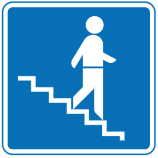
Stepped entrance to a subway.
Pedestrian crossing ahead.
Stairs closed.
Underpass closed.
This sign indicates that the entrance to the subway is accessed by steps, not a ramp or lift.
What is the name of this sign?
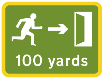
Emergency exit ahead.
Tunnel entrance ahead.
End of tunnel restrictions.
Escape route closed.
This sign indicates which direction to travel and how far you need to go to reach an emergency exit inside a road tunnel.
What does this sign represents?
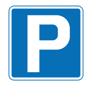
Location of parking place.
No parking.
Parking ahead only.
Parking for permit holders.
This sign indicates the exact location of a parking place where drivers are allowed to park.
Which sign is related to a primary route?
A primary route is indicated by a sign with a green background and white arrows, which is used to guide drivers along major roads connecting important towns and cities.
What does this sign mean?
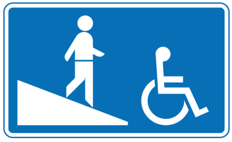
Ramped entrance to a subway.
Pedestrian walkway.
Underpass closed.
Pedestrian crossing ahead.
This sign indicates that the subway can be accessed using a ramp rather than steps.
What does this sign colour indicate?
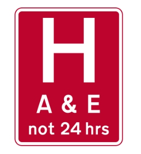
Tourist information.
Motorway services.
Local attractions.
Hospitals with urgent treatment centres.
Red signs are used to direct drivers to hospitals that have accident and emergency departments or urgent treatment centres.
What does this sign represents?
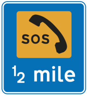
Emergency parking area ahead.
Emergency vehicles only.
End of emergency lane.
Breakdown services nearby.
This sign indicates the distance to a parking place that is reserved strictly for emergency use only.
When travelling on a dual carriageway, where are you likely to see a sign indicating the end of a lane?
Near pedestrian zones.
Approaching roundabouts.
Where a climbing lane ends.
At exit slip roads.
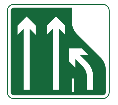
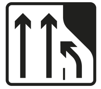
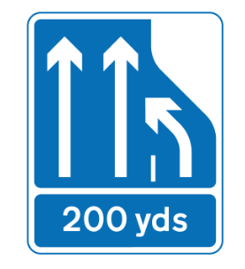
These signs show that the right-hand lane is ending on a dual carriageway or one-way street. They are often placed at the end of a climbing lane to alert drivers to merge safely. The sign may also show how many lanes continue ahead and how far ahead the lane ends, especially on motorways.
What do blue hospital signs indicate?
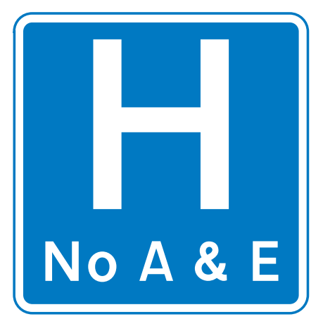
Urgent treatment centres.
Hospitals without accident and emergency facilities.
Ambulance stations.
Tourist information.
Blue hospital signs are used to show hospitals that do not have accident and emergency departments.
What does this sign represent?
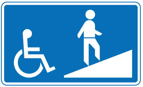
Steps to a footbridge.
Footbridge closed.
Ramped approach to a footbridge.
Steep hill ahead.
This sign indicates that you can access the footbridge using a ramp instead of steps, making it suitable for wheelchairs, prams, and bicycles.
What is the meaning of sign symbol?
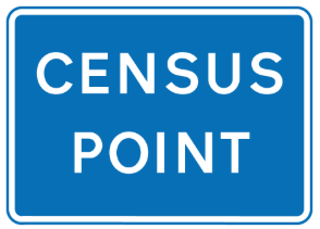
Slow-moving vehicles only.
Diversion route.
Traffic survey in progress.
Police checkpoint.
These temporary signs indicate that a traffic survey is being carried out. Vehicles may be instructed to stop at the census point.
What does this sign mean?
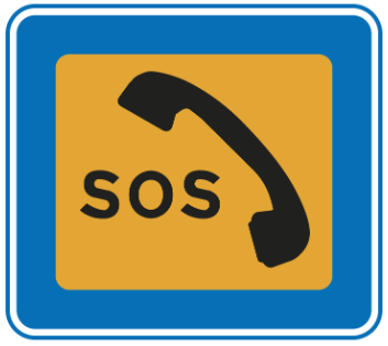
No stopping at any time.
Emergency phone ahead.
Normal parking allowed.
Emergency-use parking located here.
This sign shows the exact location of a parking place that may be used only in an emergency.
Select the sign that represents a motorway.
A motorway is indicated by a sign with a blue background and white arrows, which is used to guide drivers along high-speed roads designed for long-distance travel between major cities.
What does this sign mean?
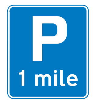
Parking not allowed.
Parking place ahead.
End of parking zone.
Park on left only.
This sign shows the distance to a parking area ahead, helping drivers prepare to stop safely.
What additional information might be included on a lane reduction sign?
Speed limit.
Vehicle height restriction.
Distance to the lane closure.
A diversion route.
Lane reduction signs often show the distance to where the lane ends, helping drivers prepare to merge in advance. This is especially common on motorways and dual carriageways where traffic is fast-moving.
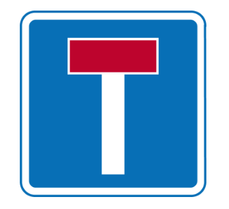
Which sign indicates no through road for vehicular traffic?
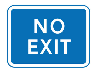
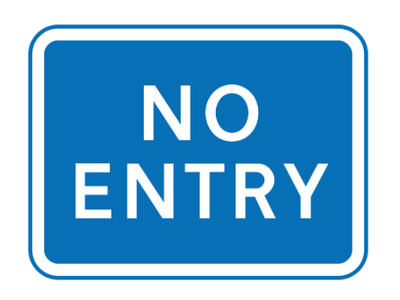
The 'No through road for vehicular traffic' sign is a blue rectangular sign with a red horizontal bar at the top, sometimes called a 'dead end' sign. It indicates that the road does not have an exit for vehicles at the far end, though pedestrian or cycle access may still be possible.